Property boundaries play a critical role in land ownership, development, and construction projects. But what happens when those boundaries aren’t as accurate as you thought? In Alberta, some property lines are based on surveys conducted decades ago, and in certain cases, even more than a century ago. Over time, natural changes in the land, outdated survey methods, and missing records can create boundary conflicts that affect homeowners, developers, and businesses alike.
This is where surveyors in Alberta step in. These professionals specialize in resolving boundary disputes and correcting historic errors that could otherwise lead to legal issues, stalled projects, and unexpected financial burdens.
Why Historic Boundary Errors Happen
Historic property lines are often based on old surveying techniques that lacked today’s precision. Decades ago, surveyors relied on manual tools and landmarks—like trees, fence posts, or streams—to mark boundaries. While these methods worked at the time, several factors can cause inconsistencies over the years:
- Shifting Landmarks. Rivers change course, trees are cut down, and man-made markers deteriorate, leaving no physical evidence of the original boundaries.
- Incomplete Records. Older surveys weren’t always well-documented or stored properly, making it harder to verify where one property ends and another begins.
- Technological Gaps:. Past survey tools lacked the accuracy of today’s GPS and laser-based systems, leading to potential discrepancies in measurements.
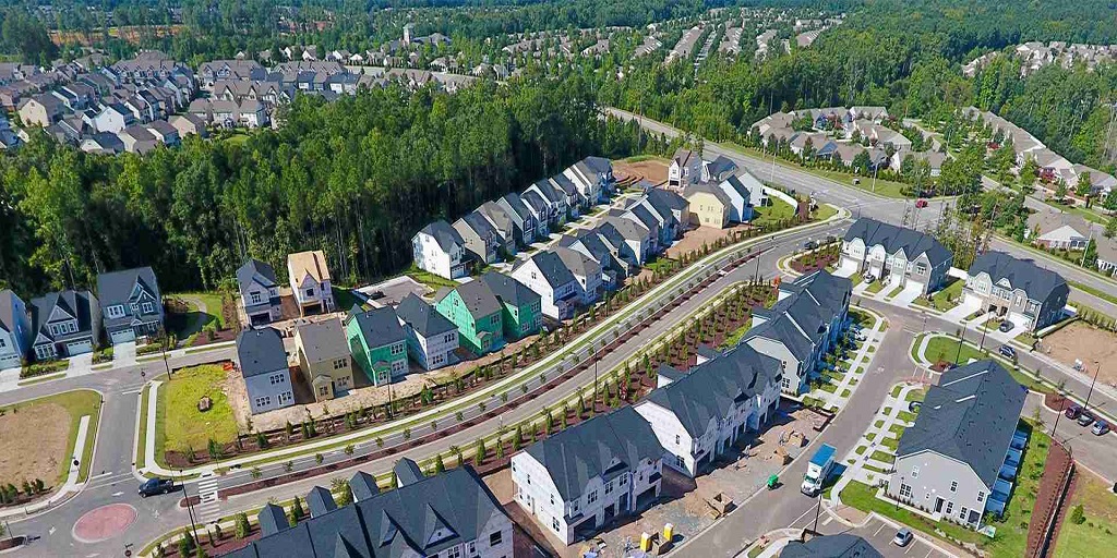
- Subdivision Growth. Land that was once a single property might have been subdivided multiple times, increasing the risk of conflicting legal descriptions.
These issues can create confusion, especially when properties are sold, inherited, or developed. Without clear, updated boundaries, owners may unknowingly encroach on a neighbour’s land or violate zoning regulations.
How Surveyors in Alberta Resolve Boundary Conflicts
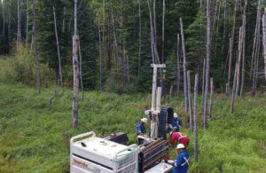
When property owners face boundary-related problems, hiring surveyors in Alberta is the best way to get clarity. These professionals rely on advanced technology, historical research, and legal expertise to uncover the truth.
Here’s how they approach the process:
- Reviewing historical records. Surveyors begin by examining original land titles, deeds, and archived survey data to understand the property’s legal history.
- Conducting a modern survey. Using state-of-the-art tools like GPS, drones, and total stations, surveyors measure the land with exceptional accuracy, often to within millimetres.
- Comparing past and present data. By overlaying historical records with modern findings, surveyors identify discrepancies and determine where boundary errors exist.
- Providing legal documentation. Once the correct boundaries are established, surveyors prepare detailed reports and updated plans that property owners can use for legal purposes, land development, or future sales.
Why Accurate Boundaries Matter
Even small boundary mistakes can have significant consequences. Whether you’re buying, selling, or developing property, inaccurate surveys can lead to:
- Costly legal disputes with neighbours
- Delays in construction projects
- Issues obtaining permits and approvals
- Reduced property value due to uncertainty
By hiring professional surveyors in Alberta, you ensure your property’s boundaries are precisely defined and legally defensible, giving you peace of mind and protecting your investment.
Historic boundary errors are more common than most property owners realize. While these issues can be complex, they’re far from impossible to fix. With the right expertise and modern surveying technology, surveyors in Alberta can uncover the past, correct inaccuracies, and ensure your property lines are properly documented for the future.
If you suspect your property boundaries might be based on outdated or conflicting information, consulting a professional surveyor today could save you time, money, and potential legal trouble down the road.
For more Information about Real Property Reports Services Saskatoon and Land Survey Services Regina Please Visit: CORE Geomatics.