Subdividing land is one of the most effective ways to unlock value in a property—whether you’re a developer planning a multi-lot residential project, a landowner preparing to sell off a portion of your parcel, or a municipality accommodating growth. But transforming a single property into multiple legal lots is not as simple as drawing lines on a map. Behind every successful land subdivision is the technical precision and regulatory knowledge provided by expert land surveying services.
Surveyors play a critical role in ensuring that a subdivision complies with zoning bylaws, local development regulations, and provincial land titles systems. From the first planning stages to final registration, their expertise is essential in moving subdivision projects from concept to completion.
Understanding the Land Subdivision Process
Subdivision refers to the process of dividing a single parcel of land into two or more lots, each with its own legal title. This process can be complex, especially when dealing with urban infill developments, agricultural rezoning, or environmentally sensitive areas.
Before any construction can begin—or even lots listed for sale—the proposed subdivision must be approved by the local municipality. This requires submitting a detailed application package that includes site plans, legal descriptions, engineering inputs, and environmental considerations. The foundation of that entire package? A professional land survey.
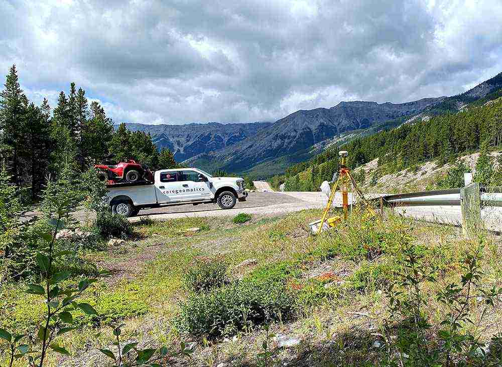
The Role of Surveyors in Subdivision
Surveyors are involved in nearly every stage of the subdivision process. One of their first tasks is conducting a boundary survey to establish the precise limits of the existing property. This ensures that the subdivision proposal respects legal boundaries and avoids encroachments.
Next, surveyors prepare a tentative plan of subdivision that maps out the proposed lots, access roads, utility easements, green space allocations, and drainage solutions. These plans must comply with local zoning bylaws, minimum lot sizes, road access requirements, and other development guidelines.
Navigating Zoning and Municipal Requirements
Every municipality has its own land use regulations, which determine whether a subdivision is permitted and under what conditions. These rules govern lot dimensions, density, setbacks, access, and infrastructure requirements. A surveyor’s understanding of these rules can make or break a subdivision application.
When complications arise—such as irregular lot shapes, conflicting easements, or outdated property lines—expert land surveying services can help resolve them efficiently and provide updated survey plans that are more likely to gain municipal approval.
From Preliminary to Final Plan Registration
After municipal approval is granted for the tentative plan, surveyors are responsible for preparing the final plan of subdivision. This is a legally binding document that defines each lot’s boundaries and dimensions and is submitted to the provincial land titles office for registration.
Surveyors also assist in setting physical boundary markers on the newly created lots and may provide as-built surveys if required during construction. Their work ensures that the new parcels are ready for development, sale, or further investment.
Protecting Your Investment and Timeline
Subdivision projects are often time-sensitive and capital-intensive. Delays caused by incorrect surveys, non-compliance, or disputes can drive up costs and erode profitability. Hiring professionals who specialize in expert land surveying services provides the clarity, compliance, and documentation needed to keep your project on schedule and protect your investment.
By identifying potential challenges early, offering accurate site data, and helping navigate regulatory hurdles, surveyors help you move through subdivision processes with greater confidence and fewer surprises.
For more information about Land Survey Company Saskatoon and Land Survey Companies Regina Please visit: CORE Geomatics.