
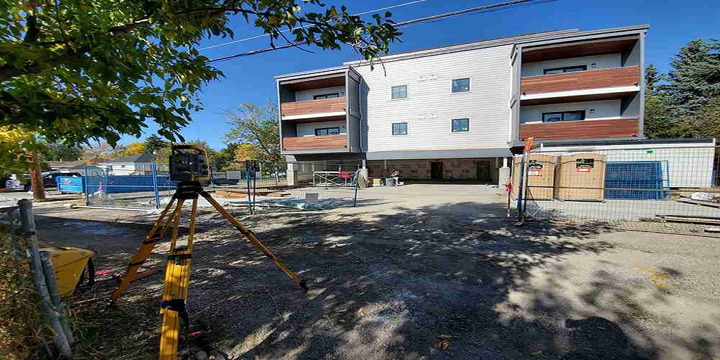
When planning construction, infrastructure development, or landscaping, a comprehensive understanding of the terrain is essential. This is where topographic surveys come into play, offering valuable insights into the natural and man-made features of a given area. Whether you’re a contractor, architect, or property owner, working with a land survey company in Saskatoon ensures that your project begins with a clear picture of the site’s landscape.
What is a Topographic Survey?
A topographic survey involves the detailed measurement and mapping of the surface features of a specific piece of land. This includes both natural elements like hills, rivers, and trees, as well as man-made structures such as roads, buildings, and fences. These surveys use advanced tools, such as GPS equipment and total stations, to precisely determine the elevations and contours of the terrain. The collected data is then transformed into maps or 3D models, which guide architects, engineers, and builders through every phase of project development.
If you are undertaking a complex project in the area, it is advisable to consult with a reputable land survey company in Saskatoon to conduct a topographic survey that aligns with local regulations and environmental considerations.
Why are Topographic Surveys Important?
Topographic surveys serve several crucial purposes:
- Site Planning and Design. A topographic survey provides architects and engineers with the elevation and contour data needed to design functional and sustainable structures. Understanding how a building fits within the terrain reduces the chances of costly modifications later.
- Infrastructure Development. For road work, utility installation, and drainage systems, topographic surveys are critical. They ensure that new infrastructure harmonizes with the natural features and minimizes disruption.
- Flood Risk Assessment. The information obtained from topographic surveys helps identify areas prone to flooding, ensuring that drainage systems and flood mitigation measures are adequately planned.
- Environmental Impact Assessments. A topographic survey is often part of environmental evaluations, enabling project developers to assess how construction might affect the surrounding environment and take necessary precautions.
In cities like Saskatoon, engaging a land survey company in Saskatoon helps ensure that your project complies with the necessary regulations while accounting for any unique geographical challenges.
How is a Topographic Survey Conducted?
The process of conducting a topographic survey involves several key steps:
- Site Preparation. Surveyors inspect the area, identifying key landmarks and any obstacles that may affect data collection.
- Data Collection. Surveyors use advanced equipment to capture the coordinates and elevations of various points across the site.
- Data Processing. The raw data is compiled into maps, charts, or 3D models, detailing the surface contours and elevations.
- Report Delivery. A comprehensive report is delivered to the project team, offering a reliable reference throughout the project’s lifecycle.
Depending on the size and complexity of the site, the survey may take several days to complete, ensuring that all critical features are accurately mapped.
When Do You Need a Topographic Survey?
A topographic survey is essential at the beginning of many projects. If you’re planning new construction, renovations, or landscaping work, it is beneficial to invest in a detailed survey. It ensures the project proceeds smoothly without unexpected surprises, such as hidden elevation changes or natural obstructions. Furthermore, the data helps architects and engineers design in harmony with the land rather than against it, promoting sustainability and long-term success.
Topographic surveys are invaluable for any project that requires precise knowledge of the land’s contours, elevations, and features. By providing detailed maps and reports, these surveys enable developers, engineers, and architects to make informed decisions and avoid potential setbacks.
